Trenino Artù Notice
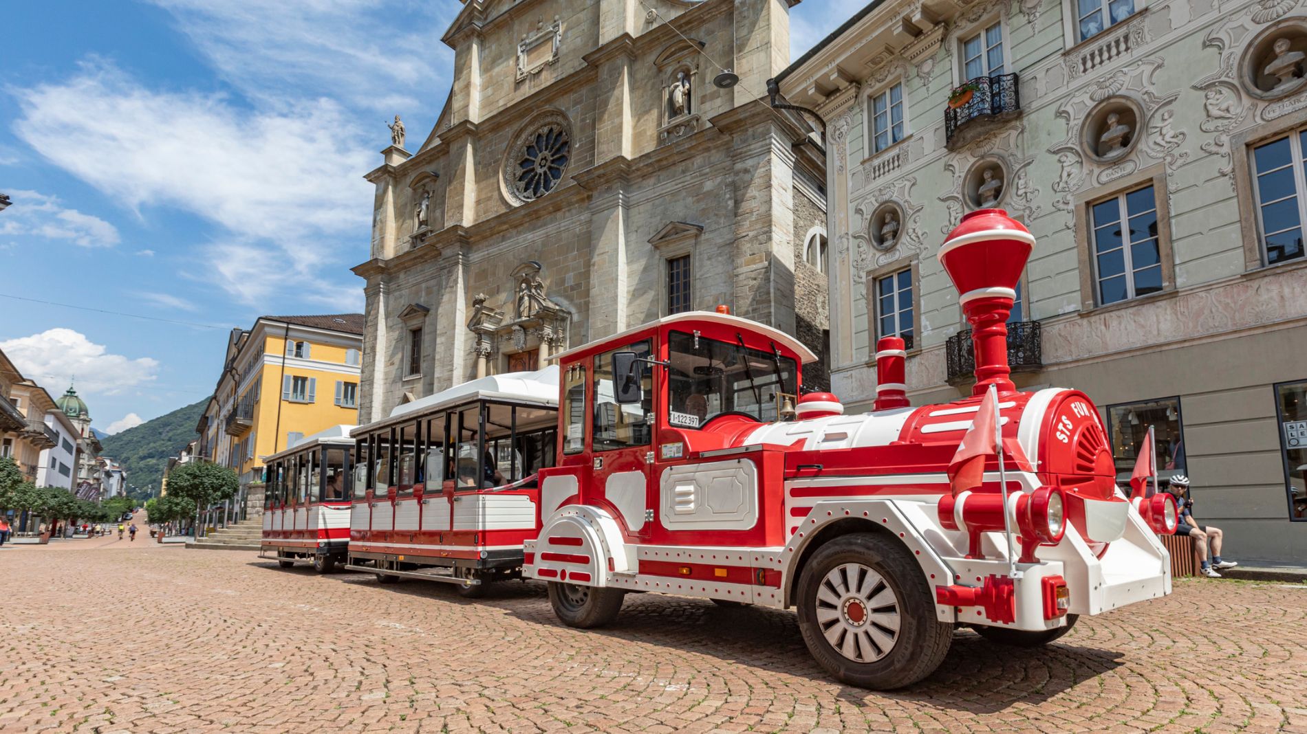
We would like to inform passengers that on Saturday, 26 September, the departure and arrival point of the Trenino Artù will be moved to Viale Stazione, near the Post Centre.
More information801528723
The Strada Alta, Stage 3: Anzonico–Biasca
 Stage 3
Hiking Trail
· Bellinzona and Valleys
Stage 3
Hiking Trail
· Bellinzona and Valleys
The Strada Alta, Stage 3: Anzonico–Biasca

Responsible for this content
Bellinzona e Valli Turismo Verified partner
Bellinzona e Valli Turismo Verified partner
-
 Faido AnzonicoPhoto: Nicolas Joray, Bellinzona e Valli Turismo
Selected alternatives for you
At the southern edge of the village of Anzonico, near the little church of Sant'Antonio, the Strada Alta trail continues through grassy slopes and woods.
Distance 17.4 km
Duration5:15 h
Ascent282 m
Descent979 m
Highest point1,147 m
Lowest point289 m
This particularly scenic stretch takes us—after passing through the hamlet of Segno with its many barns—to the medieval church of Sant’Ambrogio, characterized by a low bell tower.
Continuing downhill through green expanses, you reach the village of Cavagnago, and near the parish church, the trail rejoins the road to Sobrio.
The route continues first across steep slopes, then climbs through a chestnut forest, and finally winds through the pastures just below the hamlet of Ronzano. From here, you can see the top of the bell tower of the Church of San Lorenzo in Sobrio, which, together with the parish house and the cemetery, forms a small settlement.
Sobrio, a small and secluded village, is often chosen as an additional stop on the Strada Alta.
The hike continues to a spot called Valecc, where you can enjoy a sweeping view, and then crosses the imposing Vallone Gorge along slopes covered with broom above the Dragone stream.
The final section winds along a trail overlooking the mountains of Bodio and Pollegio; after the idyllic Mount Diganengo, near the forest ranger station, the descent to the valley floor begins.
You first enter a chestnut forest and cross Mount Corecco before finally reaching Pollegio along a narrow dirt road. Following a secondary paved road, you reach the hamlet of Pasquerio and, after crossing the beautiful stone bridge over the Brenno River, arrive at the area known as “Ponte.”
From here, passing through the village and the central square of Biasca, you’ll reach the train station.
Discover the complete Strada Alta Leventina itinerary
Continuing downhill through green expanses, you reach the village of Cavagnago, and near the parish church, the trail rejoins the road to Sobrio.
The route continues first across steep slopes, then climbs through a chestnut forest, and finally winds through the pastures just below the hamlet of Ronzano. From here, you can see the top of the bell tower of the Church of San Lorenzo in Sobrio, which, together with the parish house and the cemetery, forms a small settlement.
Sobrio, a small and secluded village, is often chosen as an additional stop on the Strada Alta.
The hike continues to a spot called Valecc, where you can enjoy a sweeping view, and then crosses the imposing Vallone Gorge along slopes covered with broom above the Dragone stream.
The final section winds along a trail overlooking the mountains of Bodio and Pollegio; after the idyllic Mount Diganengo, near the forest ranger station, the descent to the valley floor begins.
You first enter a chestnut forest and cross Mount Corecco before finally reaching Pollegio along a narrow dirt road. Following a secondary paved road, you reach the hamlet of Pasquerio and, after crossing the beautiful stone bridge over the Brenno River, arrive at the area known as “Ponte.”
From here, passing through the village and the central square of Biasca, you’ll reach the train station.
Discover the complete Strada Alta Leventina itinerary

Author
Bellinzona e Valli Turismo

Responsible for this content
Bellinzona e Valli Turismo Verified partner
Bellinzona e Valli Turismo Verified partner
Highest point
1,147 m
Lowest point
289 m
Best time of year
Jan
Feb
Mar
Apr
May
Jun
Jul
Aug
Sep
Oct
Nov
Dec
Track types
Asphalt 13.77%Forested/wild trail 22.29%Path 43.92%Road 19.43%Unknown 0.57%
Asphalt
2.4 km
Forested/wild trail
3.9 km
Path
7.6 km
Road
3.4 km
Unknown
99 m
Tips and suggestions
Montagnepulite: This project was created to promote the effective and sustainable management of alpine huts in the Ticino region, with a particular focus on waste management. Responsible waste management in the mountains is a matter of common sense. We can all do our part: www.montagnepulite.ch
Rest stop
Tip
Nearby
Top Partner
Waypoint
Start point
End point
Low point
High point
Forecast
Today {low} to {high} and {precipitation} of {precipitation_type}
show {x} more
Photo
Video
Anzonico, PaeseBiasca, Stazione
Bahnhof Biasca
Biasca
Casa Cavalier Pellanda
Casa Cavalier Pellanda
Via Crucis
church of S. Giovanni Battista
Church SS. Pietro e Paolo
Sobrio
Biasca
Brücke über den Brenno
Biasca, casa del Cavalier Pellanda
Chiesa di San Carlo
Pasquerio
Chiesa dei SS. Pietro e Paolo
Oratorio di Sant'Ambrogio
Coordinates
SwissGrid
2'709'505E 1'143'220N
DD
46.431378, 8.863402
DMS
46°25'53.0"N 8°51'48.2"E
UTM
32T 489505 5141987
w3w
///cooked.human.elated
Get there by train, car, bike, or on foot!
Equipment
- Hiking Boots
- Beanie
- Water bottle
- Sunglasses
- Sunscreen
- Hiking map
- Camera
- Food
Distance
17.4 km
Duration
5:15 h
Ascent
282 m
Descent
979 m
Highest point
1,147 m
Lowest point
289 m
Multi-stage route
Cultural/historical interest
Flora
Fauna
Linear route
Weather at the starting point
Statistics
- Content
- Show images Hide images
Maps and trails
17 Waypoints
Nothing selected - click and drag in the elevation profile to zoom
kmm
Distance
Duration
Ascent
Descent
Elevation profile