Trenino Artù Notice
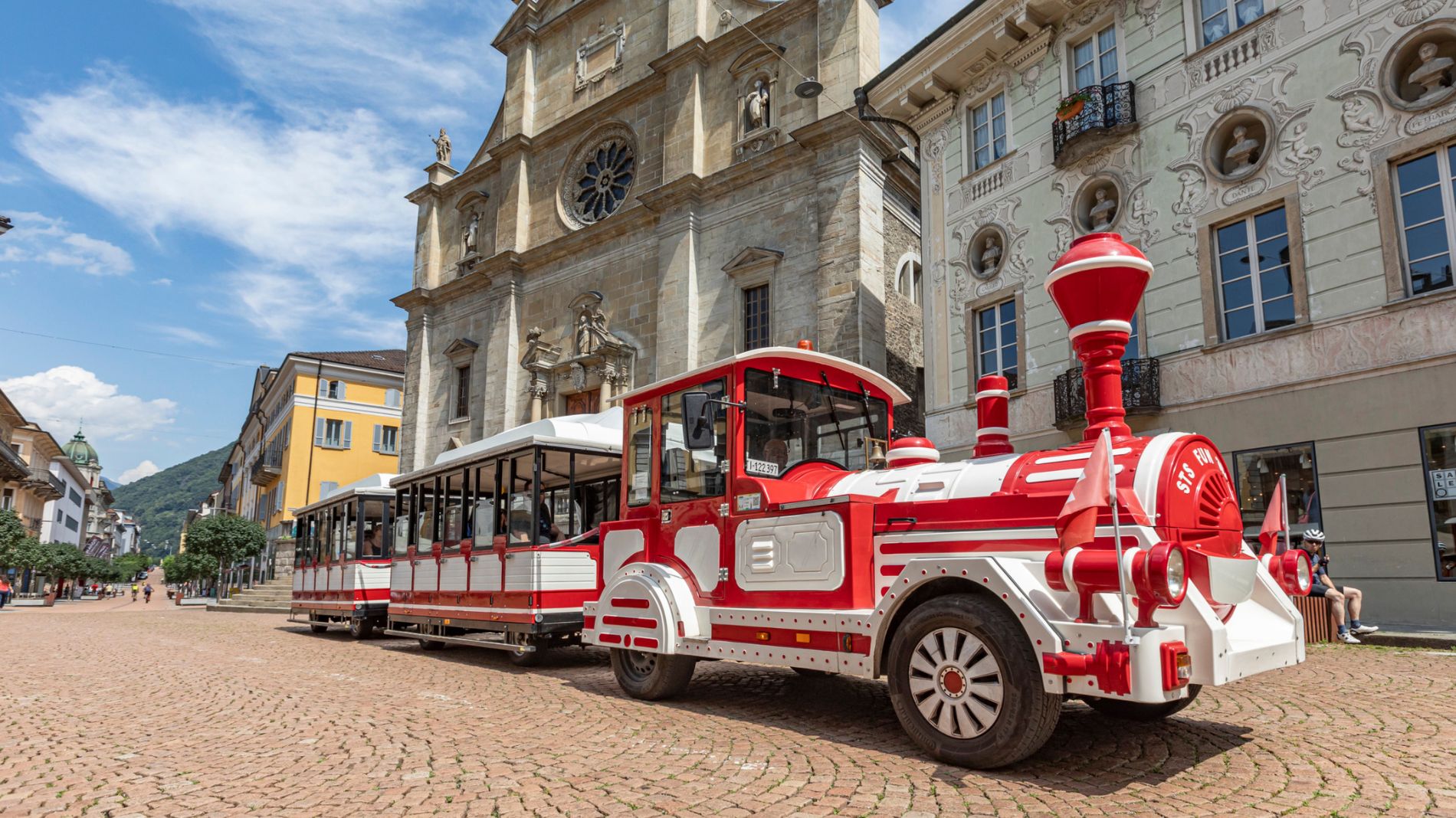
We would like to inform passengers that on Saturday, 26 September, the departure and arrival point of the Trenino Artù will be moved to Viale Stazione, near the Post Centre.
More informationThe Strada Alta, Stage 2: Osco–Anzonico
 Toprecommended route
Stage 2
Hiking Trail
· Bellinzona and Valleys
closed
Toprecommended route
Stage 2
Hiking Trail
· Bellinzona and Valleys
closed
The Strada Alta, Stage 2: Osco–Anzonico

Bellinzona e Valli Turismo Verified partner
-
 Strada AltaPhoto: Switzerland Tourism, Jan Geerk, Bellinzona e Valli Turismo
At the fountain past the chapel, we follow the higher trail and make our way through hazelnut groves into the valley of the Formiei stream. We cross the stream at a ford to reach the other bank and, after a short climb, arrive at the village of Calpiogna.
Passing by idyllic little wooden houses and the parish church of Sant’Atanasio, we continue through meadows and small fields, then coniferous forests, until we cross the Ri Bassengo. Before reaching the hamlet of Figgione, the trail crosses a wooded slope; the old mule trail then leads above the Croarescio stream to the typical Leventinese village of Rossura, where, on a hill, stands the parish church of San Lorenzo—well worth a visit and surrounded by the chapels of the Way of the Cross.
The route continues along a narrow dirt road, crossing the Froda stream toward the paved road leading to Tengia. Along this stretch, you can admire a unique panorama characterized by a dense cluster of stone-slab roofs.
Near a chapel, the Strada Alta trail splits. The original route climbs from Tengia up to Mount Sorsello, passing beneath imposing rocks streaked with small waterfalls, and then ascends to Mount Cò, where you can enjoy a spectacular view.
Descending, you first reach Mount Ravatoi, then Mount Casioni, and finally the Bosco Salvagata; just before Anzonico, the trail rejoins the road.
The alternative route, however, is a trail that descends through meadows and woods toward Calonico, where the splendid Church of San Martino stands in a spectacular setting. Here, you can also visit a medieval mill, which has been fully restored and is still in operation.
Continuing through Prato Bello, the fragrant chestnut woods, and the Bosco Salvagata, you’ll reach the second destination of this stage: Anzonico. Built on steep slopes, the village preserves the typical Leventina wooden houses alongside stone ones. Finally, we recommend a visit to the parish church of San Giovanni Battista.
Discover the complete itinerary: Strada Alta Leventina.


Bellinzona e Valli Turismo Verified partner
Track types
Rest stops
Osteria Belvedere (Bike friendly)Ostello Cappuccini Faido (Bike friendly)
Capanna Gorda (Bike friendly)
Ristorante La Pernice, (Bike Friendly)
Albergo Defanti (Bike friendly)
Osteria Anzonico (Bike friendly)
Tips and suggestions
Montagnepulite: This project was created to promote the effective and sustainable management of alpine huts in the Ticino region, with a particular focus on waste management. Responsible waste management in the mountains is a matter of common sense. We can all do our part: www.montagnepulite.chOsteria Belvedere (Bike friendly)
Seggiovia Carì
Funivia Faido - Pianaselva
The waterfall of Piumogna
E-Bike charging point - Carì
Ostello Cappuccini Faido (Bike friendly)
Fit & Fun Arena Pump Track
E-Bike charging point - Faido
Capanna Gorda (Bike friendly)
Ristorante La Pernice, (Bike Friendly)
E-Bike charging point - Cancorì
Albergo Defanti (Bike friendly)
Osteria Anzonico (Bike friendly)
E-Bike charging point - Anzonico
Chiesa di San Nicolao
Chiesa di San Michele
Chiesa di S. Maria al Castello
Chiesa di San Pellegrino
Museum of Leventina
Coordinates
Equipment
- Hiking Boots
- Beanie
- Water bottle
- Sunglasses
- Sunscreen
- Hiking map
- Camera
- Food
Localization
Weather at the starting point
Statistics
- Content
- Show images Hide images