Trenino Artù Notice
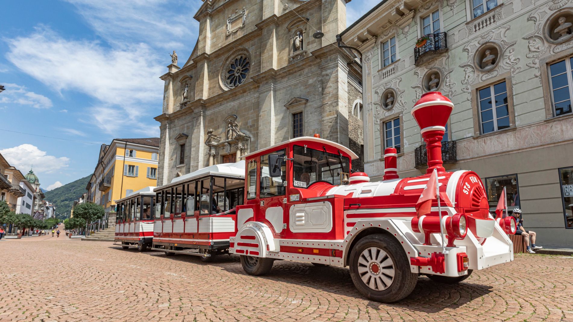
We would like to inform passengers that on Saturday, 26 September, the departure and arrival point of the Trenino Artù will be moved to Viale Stazione, near the Post Centre.
More informationStrada Alta stage 1: Airolo-Osco
 Toprecommended route
Stage 1
Hiking Trail
· Bellinzona and Valleys
Toprecommended route
Stage 1
Hiking Trail
· Bellinzona and Valleys
Strada Alta stage 1: Airolo-Osco

Bellinzona e Valli Turismo Verified partner
-
 Strada AltaPhoto: Switzerland Tourism, Jan Geerk, Bellinzona e Valli Turismo
The Strada Alta continues towards Brugnasco and Altanca, home to the intermediate station of the Ritom Funicular, one of the steepest funicular railways in the world. Near the funicular stands the charming village church, built on a rocky outcrop and listed as a historic monument.
After passing through Altanca, where a restored historic mill can be found, the route reaches Cresta di Sopra (1,419 m above sea level), the highest point of the stage. From here, the Strada Alta descends through the picturesque hamlet of Ronco before arriving in Deggio.
The trail then climbs gently, first to San Martino, where one of the oldest churches in the Leventina Valley, dating back to the 11th century, is located, and then to Lurengo, where it enters the Bosco d'öss, leading to the locality of Freggio.
Along this final section, which runs above the Piottino Gorge, the route leaves Upper Leventina and enters Middle Leventina. After passing the village church, the trail climbs towards Osco, the destination of the first stage.
Discover the complete route: Strada Alta Leventina


Bellinzona e Valli Turismo Verified partner
Derived from the technical difficulty and the stamina requirements.
Track types
Rest stops
Des Alpes AiroloForni
Tips and suggestions
Montagnepulite: This project was born to promote effective and sustainable management of alpine huts in the Ticino area. In particular, waste management. Responsible waste management in the mountains is a matter of common sense. We can all contribute: www.montagnepulite.chAirolo
Airolo
Organizzazione Turistica Regionale Bellinzona e Alto Ticino
Alte Gotthard-Passstrasse
Des Alpes Airolo
Forni
E-Bike Ladestation San Gottardo Airolo
E-Bike charging point - Tremola San Gottardo
Ritombahn
Altanca (funicolare)
Osco, Paese
Coordinates
Equipment
- Trekking boots
- Cap
- Water bottle
- Sunglasses
- Sunscreen
- Hiking map
- Camera
- Food
Localization
Derived from the technical difficulty and the stamina requirements.
Weather at the starting point
Statistics
- Content
- Show images Hide images