Trenino Artù Notice
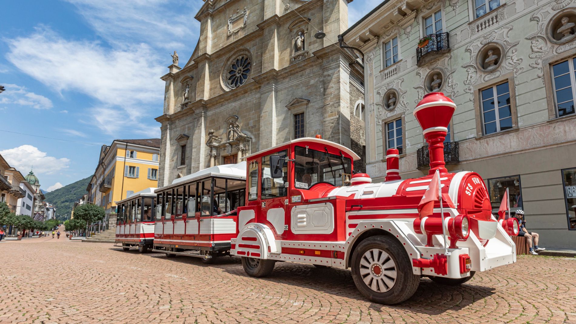
We would like to inform passengers that on Saturday, 26 September, the departure and arrival point of the Trenino Artù will be moved to Viale Stazione, near the Post Centre.
More informationHiking to the Albagno Hut
 Toprecommended route
Long Distance Hiking
· Bellinzona and Valleys
closed
Toprecommended route
Long Distance Hiking
· Bellinzona and Valleys
closed
Hiking to the Albagno Hut

Bellinzona e Valli Turismo Verified partner
-
 Hiking towards Capanna AlbagnoPhoto: Bellinzona e Valli Turismo
The two-day hike starts at Monte Carasso, ascending towards the first stop passing through the splendid village of Curzutt which definitely deserves a visit.
Then you arrive at Mornera (1,350 m) which is also easily accessible by the Monte Carasso cable car (booking the cabin is recommended).
From Mornera, you cross fir forests to reach the Albagno Hut (1,870 m) where an overnight stay is planned. On the second day, the hike continues descending towards Alpe Arami; a small alpine jewel nestled in the mountains above Gorduno. A spectacular terrace at 1,500 meters high with views over Bellinzonese and the Riviera, and also the subject of a recent restoration project to enhance the area. After enjoying the beauties of the alpine pasture, descend to Gorduno to end the hike. Return by public transport to Monte Carasso.


Bellinzona e Valli Turismo Verified partner
Derived from the technical difficulty and the stamina requirements.
Track types
Rest stops
Hotel Bellinzona Sud (Bike friendly)Hotel La Tureta (Bike friendly)
Capanna Cremorasco (Bike friendly)
Hotel Unione (Bike friendly)
Ostello Montebello (Bike friendly)
Hotel La Perla (Bike friendly)
Villa del Gusto (Bike friendly)
Marchè Bellinzona Sud (Bike friendly)
Hotel & SPA Internazionale (Bike friendly)
Tips and suggestions
Montagnepulite: This project was created to promote effective and sustainable management of alpine huts in the Ticino territory, especially waste management. Responsible waste management in the mountains is a matter of common sense. We can all contribute:
Hotel Bellinzona Sud (Bike friendly)
Hotel La Tureta (Bike friendly)
Capanna Cremorasco (Bike friendly)
Chiesa di S. Martino
Teleferica Camorino - Monti di Croveggia
E-Bike charging point - Giubiasco - FFS
E-Bike charging point - Monte Carasso
Funivia Monte Carasso - Curzútt - Mornena
Hotel Unione (Bike friendly)
Ostello Montebello (Bike friendly)
Castel Grande and the wall
Castle of Montebello
Castle of Sasso Corbaro
Museo di Castelgrande
Archeologia Montebello
E-Bike charging point - Bellinzona
Villa dei Cedri Museum
Hotel La Perla (Bike friendly)
Chiesa di San Barnárd
E-Bike charging point - Cadenazzo
E-Bike charging point - Gudo
Monastero di Ss. Maria Assunta
Villa del Gusto (Bike friendly)
Marchè Bellinzona Sud (Bike friendly)
Hotel & SPA Internazionale (Bike friendly)
Camping Bellinzona (Bike friendly)
Funivia Pizzo di Claro
E-Bike charging point - Lumino
E-Bike charging point - Arbedo-Castione
Coordinates
Equipment
- Hiking boots
- Cap
- Water bottle
- Food
- Sunglasses
- Sunscreen
- Hiking map
- Camera
Localization
Derived from the technical difficulty and the stamina requirements.
Weather at the starting point
Statistics
- Content
- Show images Hide images