Trenino Artù Notice
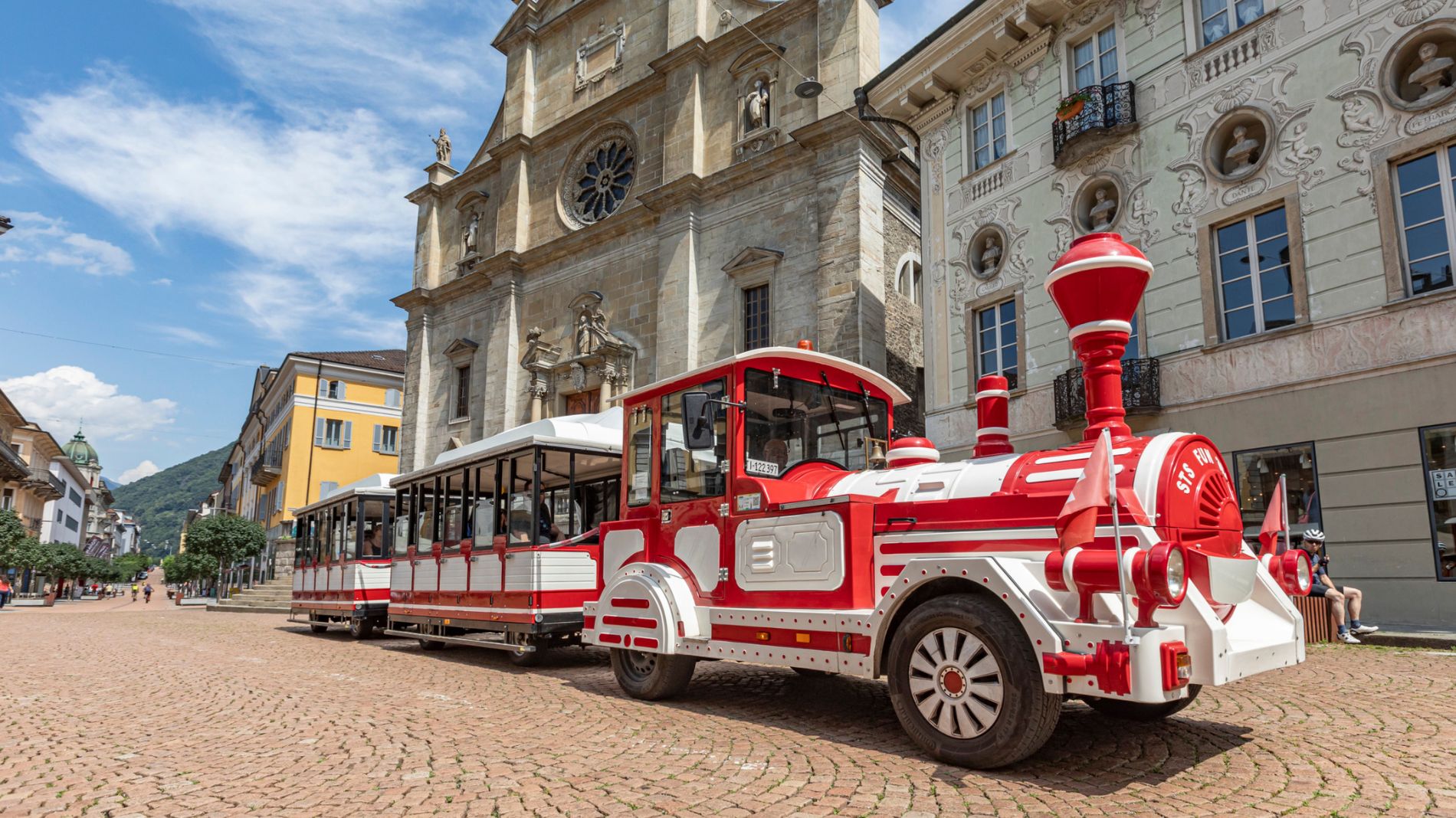
Friday, 11 September – We would like to inform our customers that the 10:00 Artù Tourist Train service has been cancelled. Services will resume as normal from 11:20.
More information41846505
Tremola and Gotthard Pass northwards
 Toprecommended route
Cycling
· Bellinzona and Valleys
Toprecommended route
Cycling
· Bellinzona and Valleys
Tremola and Gotthard Pass northwards

Responsible for this content
Bellinzona e Valli Turismo Verified partner
Bellinzona e Valli Turismo Verified partner
-
 Photo: Copyright Unforgettable studio, Bellinzona e Valli Turismo
Selected alternatives for you
By train through the tunnel that leads to Ticino. Return to the German-speaking Switzerland via the Tremola and the San Gottardo Pass. Thanks to electric bicycles, you can complete the crossing of a historic alpine pass that you will not easily forget.
moderate
Distance 26.3 km
Duration2:25 h
Ascent963 m
Descent668 m
Highest point2,104 m
Lowest point1,142 m
From Airolo the route takes you through the Tremola Valley, where the namesake cobbled road winds through 37 hairpin bends over about 900 meters of elevation gain. It was built in 1830 as a commercial road for carriages. At that time the Tremola was a masterpiece of engineering, set in the sparse alpine landscape. At the San Gottardo Pass, the National Museum of the San Gottardo provides information about the hard struggle between man and nature, illustrating the construction and maintenance of the mountain passes and historical forms of transport. The San Gottardo Chapel, built between 1160 and 1176, is also worth a visit. Take advantage of your stop to refresh yourself at the restaurant before continuing down through the Urserntal. The Urserntal is one of the most majestic alpine valleys in Switzerland. The final part leads along the Reuss river from Hospental to Andermatt.
Author’s recommendation
Follow the bicycle logo shown on the red signs: North-South Route no. 3

Author
Bellinzonese e Alto Ticino Turismo

Responsible for this content
Bellinzona e Valli Turismo Verified partner
Bellinzona e Valli Turismo Verified partner
Difficulty
moderate
Overall difficulty
moderate
Derived from the technical difficulty and the stamina requirements.
Experience
Landscape
Highest point
2,104 m
Lowest point
1,142 m
Best time of year
Jan
Feb
Mar
Apr
May
Jun
Jul
Aug
Sep
Oct
Nov
Dec
Track types
Show elevation profileRest stops
Hotel Forni (Bike friendly)B&B Gottardo (Bike friendly)
Hotel des Alpes (Bike friendly)
Bed & Bike Tremola San Gottardo (Bike friendly)
Albergo San Gottardo (Bike friendly)
Chalet Ravina (Bike friendly)
Caseificio dimostrativo del Gottardo (Bike friendly)
Safety information
This route runs on roads open to motorized traffic, obey the traffic rules: www.prudenza-precedenza.chRest stop
Tip
Nearby
Top Partner
Waypoint
Start point
End point
Low point
High point
Forecast
Today {low} to {high} and {precipitation} of {precipitation_type}
show {x} more
Photo
Video
Hotel Forni (Bike friendly)E-bike charging point - Airolo-Pesciüm
Hotel des Alpes (Bike friendly)
B&B Gottardo (Bike friendly)
E-Bike charging point - Tremola San Gottardo
Bed & Bike Tremola San Gottardo (Bike friendly)
Funivie Airolo-Pesciüm
Caseificio dimostrativo del Gottardo (Bike friendly)
Chalet Ravina (Bike friendly)
Albergo San Gottardo (Bike friendly)
Museo Nazionale del San Gottardo
Sasso San Gottardo
Public transport
Public-transport-friendly
Coordinates
SwissGrid
2'689'763E 1'153'604N
DD
46.527718, 8.608596
DMS
46°31'39.8"N 8°36'30.9"E
UTM
32T 469982 5152757
w3w
///boils.smoking.outdoor
Get there by train, car, bike, or on foot!
Localization
Parts of this content were machine translated from Italian.
Difficulty
moderate
Overall difficulty
moderate
Derived from the technical difficulty and the stamina requirements.
Distance
26.3 km
Duration
2:25 h
Ascent
963 m
Descent
668 m
Highest point
2,104 m
Lowest point
1,142 m
Public-transport-friendly
Scenic
Refreshment stops available
Linear route
Cultural/historical interest
Weather at the starting point
Statistics
- Content
- Show images Hide images
Maps and trails
12 Waypoints
Nothing selected - click and drag in the elevation profile to zoom
kmm
Distance
Duration
Ascent
Descent
Elevation profile