IMPORTANT INFORMATION!

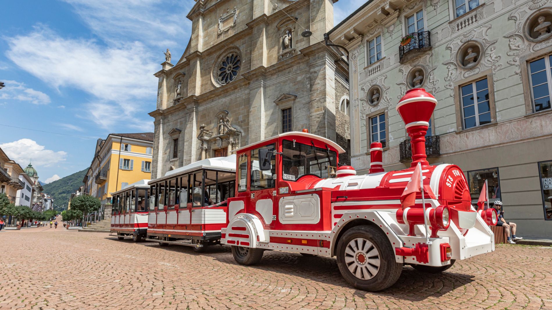
From Friday 29 August to Sunday 31 August 2025, all Artù tourist train rides will depart from Largo Elvezia, in front of UBS.
More informationPista Prato Leventina (SwitzerlandMobility 506)
Pista Prato Leventina (SwitzerlandMobility 506)

Bellinzona e Valli Turismo Verified partner
-
 Photo: Bellinzona e Valli Turismo - parisiva.ch, Bellinzona e Valli Turismo
For once not secluded, but right in the heart of the action: this trail between Prato Leventina and Mascengo meanders among the chalets of these two hamlets. The short, slightly hilly course with multiple loops is ideally suited to those looking to fine-tune their technique.
Located on the right-hand side of Valle Leventina, this trail winds its way through the small houses of the hamlets of Prato and Mascengo. The start is marked by a sign attached to a power pole by the small bridge. It is located 100 metres from the ski lift, where there’s also a car park. Did you know that Michela Figini, the Olympic and World Champion in Alpine skiing from the 1980s, grew up in Prato? It was here that she first learnt to ski.
The groomed tracks continue down to the valley: the two kilometre-long round trail features multiple turns as well some ascents and descents, and can be categorised as medium difficulty. It is ideal for training and improving your own technique. One special feature of this course is that, while you will often find yourself in the middle of nature and far from any house when cross-country skiing, here you are amongst the chalets, primarily occupied by families and out-of-town guests staying for the weekend or during the holidays. The route is particularly appealing in the evening: when the houses are lit up and your gaze lands on the magnificent San Giorgio church, the atmosphere is almost festive. The 17th Century parish church lies outside the village on a hill. With its romantic campanile or clock tower, it dominates the entire upper valley.
Here’s a tip for you: if you are hungry after completing the course, not far from the trail is a self-service fridge full of local produce, such as fine cheese from Alpe di Cadonigo or regional meat specialities. If you have a bit more time on your hands before or after your excursion, you can stop by Dazio Grande, an old tollhouse. It’s located on the road before you turn off towards Prato. From 1561 to 1882, the large building served as a customs station for goods as well as a place for travellers to stop with their horses. Today, it has been reimagined as a guest house offering home cooking, while there is also a small museum in the basement.
Bellinzona e Valli Turismo Verified partner
Derived from the technical difficulty and the stamina requirements.
Track types
Show elevation profileCoordinates
Derived from the technical difficulty and the stamina requirements.
Weather at the starting point
Statistics
- Content
- Show images Hide images