146464
Image 0 - MTB Itinerary
Image 1 - MTB Itinerary
Image 2 - MTB Itinerary
Image 3 - MTB Itinerary
Image 4 - MTB Itinerary
Image 0 - MTB Itinerary
Image 1 - MTB Itinerary
Image 2 - MTB Itinerary
Image 3 - MTB Itinerary
Image 4 - MTB Itinerary
Image 0 - MTB Itinerary
Image 1 - MTB Itinerary
Image 2 - MTB Itinerary
Image 3 - MTB Itinerary
Image 4 - MTB Itinerary
Swisstopo
Swissimage
OpenStreetMap
OpenStreetMap 3D
0m1000m2000m3000m4000m5000m6000m7000m1,50007671.705835
7671 m
7671 m
Length
1781 m
1781 m
Maximum altitude
163 m
163 m
Total climb
700 m
700 m
Total descent

MTB Itinerary "Pineta"

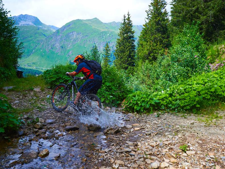
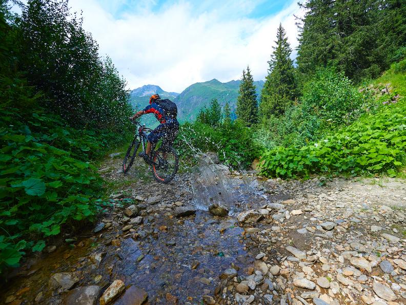
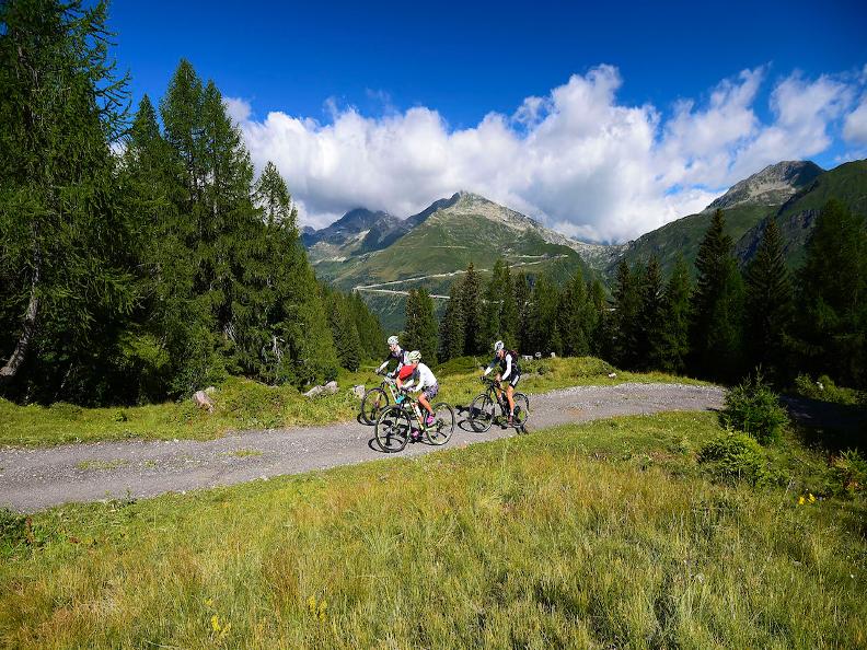
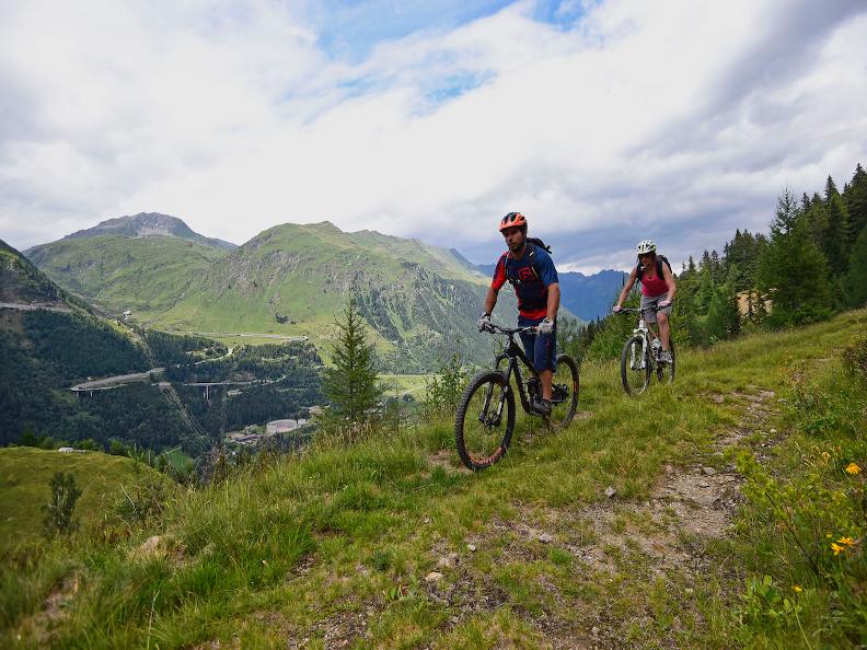
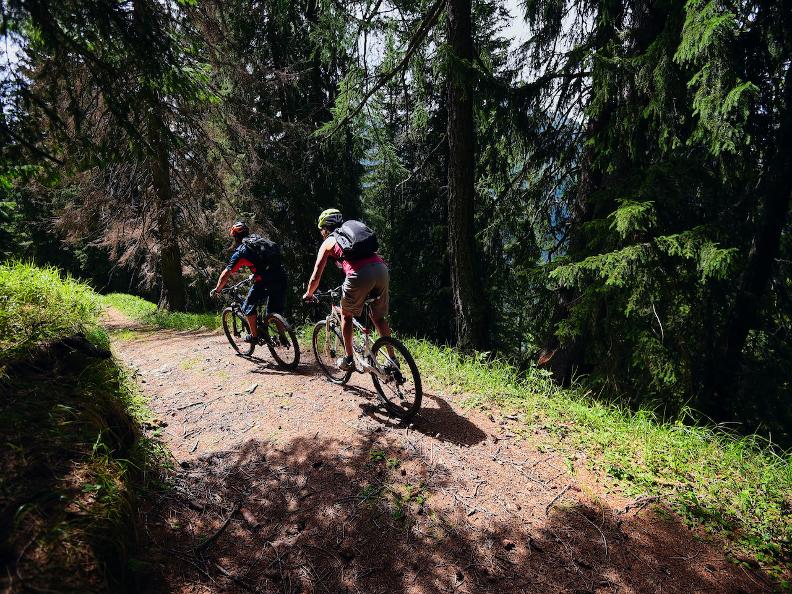
The Pineta Itinerary starts in Pesciüm and at the beginning it twists and turns through a path called “Alpi Bedretto Bike” to extend successively, through a single trail path, to Fontana locality to reconnect again the cable-car departure following the “Strada Bassa” which is a stretch of way easy and flat.

Tips

The Pineta Itinerary, whose whole length is of 8 km, has a reduced degree of difficulty and it suits especially those who prefer funny downhills.

Trail

Alternative routes

-

Cerca su bellinzonaevalli.ch