IMPORTANT INFORMATION!

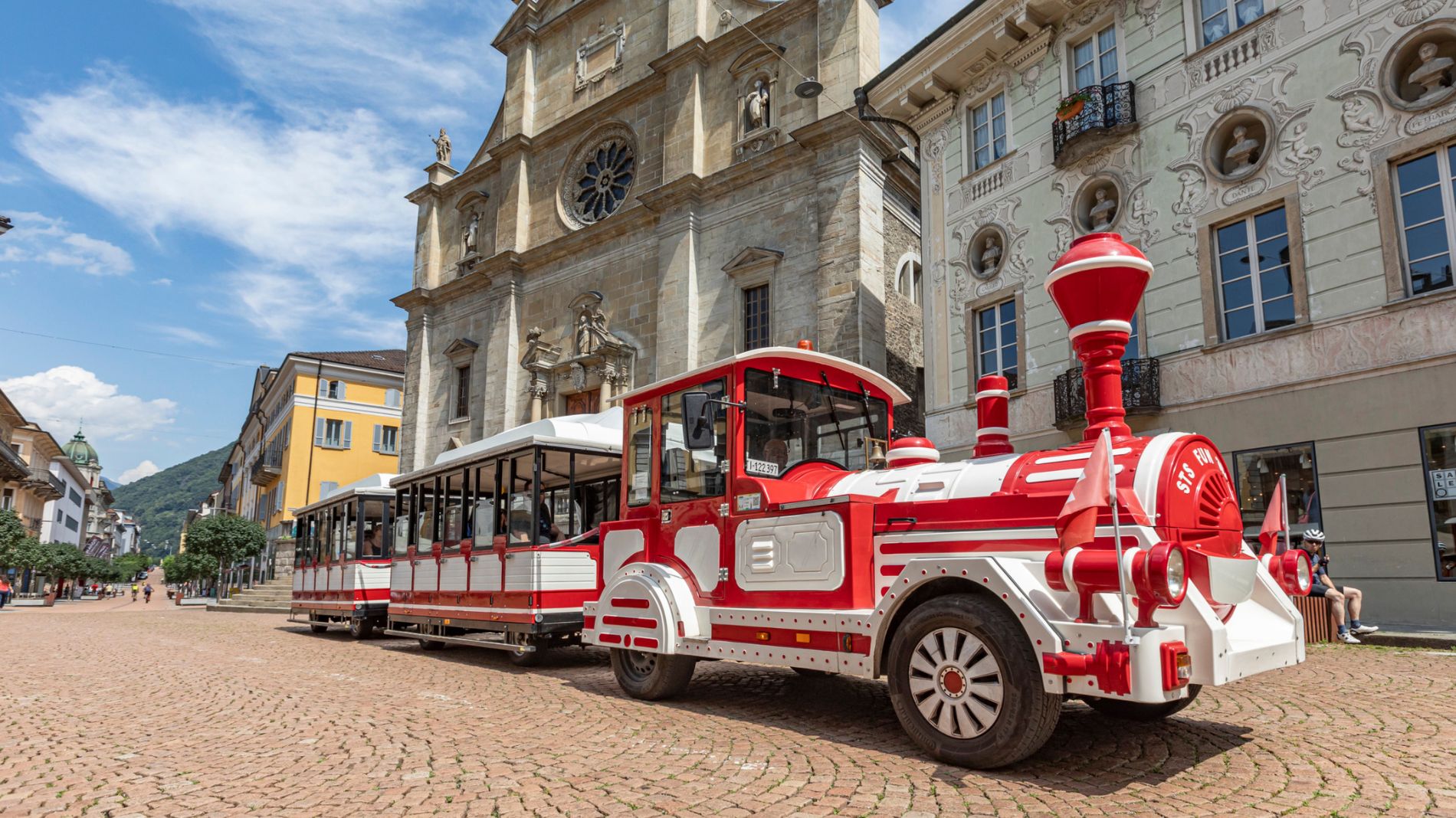
From Friday 29 August to Sunday 31 August 2025, all Artù tourist train rides will depart from Largo Elvezia, in front of UBS.
More informationThe Piora valley microorganism educational path
The Piora valley microorganism educational path

Bellinzona e Valli Turismo Verified partner
-
 Val PioraPhoto: Bellinzona e Valli Turismo - parisiva.ch, Bellinzona e Valli Turismo
The Piora valley is one of the most spectacular valleys in Ticino, that is famous for its rich biodiversity and for its numerous lakes.
Since 200 years tourists and scientists have been visiting and studying this valley, taking advantage of this extraordinary contest.
In the heart of this ecosystem, there are organisms with a key role, they are unknown because they are invisible to the human eye: the name is "microorganisms".
The educational path can be done in both directions. The length is about 4 km, it's a circular path and the information point is located at the Centre for Alpine Biology (research lab). Along the path indicator bars inform where the microorganism are visible or which effects they can have on the environment.
On each bar there is a reference to a particular chapter of the book (available in italian, french and german).
Brochure_italian.pdf
Brochure_german.pdf
Brochure_french.pdf
Centro Biologia Alpina
www.cadagno.ch
Bellinzona e Valli Turismo Verified partner
Derived from the technical difficulty and the stamina requirements.
Track types
Rest stops
Canvetto di CharlyTips and suggestions
Montagnepulite: This project was born to promote an effective management and sustainable use of mountain huts in Ticino, and in particular the litter management. The responsible management of litter in the mountains is a matter of common sense. We can all contribute: www.montagnepulite.ch
Coordinates
Equipment
- Hiking boots
- Sun cap
- Water-bottle
- Sunglasses
- Sun cream
- Hiking map
- Camera
- Food
Derived from the technical difficulty and the stamina requirements.
Weather at the starting point
Statistics
- Content
- Show images Hide images