806203728

Sentiero di Campra (SwitzerlandMobile 455)

Winter Hiking recommended route Winter Hiking  · Bellinzona and Valleys closed

Sentiero di Campra (SwitzerlandMobile 455)

Logo Bellinzona e Valli Turismo
Responsible for this content
Bellinzona e Valli Turismo Verified partner 
  • Campra Nordic Ski Center
    Campra Nordic Ski Center
    Photo: Ticino Turismo - Milo Zanecchia, Bellinzona e Valli Turismo

Selected alternatives for you
    This winter hike allows you to explore the plain of Campra on the southern side of Lucomagno. An easy and flat path along the Brenno is the ideal option for those who love to rejuvenate among alder and fir woods.
    closed
    moderate
    Distance 5.4 km
    1:25 h
    50 m
    50 m
    1,437 m
    1,407 m
    The route extends through the plain of Campra, located in a sheltered position at about 1500 m above sea level, without significant elevation changes, always close to the slopes and the Brenno river.

    Thanks to the geographical features of the area, it is possible to have consistently optimal snow conditions from early December until early April.

    Starting from the Campra Nordic Center (easily reachable by bus), you head through the small areas called Chébia, Rispars, Piàn Pramuntài, Campra di Dentro until Pianca Bella, where you can spot some characteristic buildings that testify to the importance of agriculture in the so-called Sun Valley.

    The environment is fairy-tale like, and it is easy to be completely absorbed by the nature and the surrounding landscape with typically northern characteristics. The alder and fir forests as well as the slow flow of the Brenno river, which always borders the path forming numerous water mirrors and meanders, make the atmosphere even more charming. Even if the plain of Campra is dressed in winter, you can imagine how beautiful it can be in summer. Included in a marshy area of particular beauty and national importance, it contains floodplains, swamps, peatlands, and other biotopes resting under a white blanket of snow.

    The route returns along the same way. Being a protected area, it is mandatory to stay on the marked path and dogs must be kept on a leash. Once back at the Campra Nordic Center, it is worth taking a break, short or long: at the destination there is a modern hotel with a SPA and restaurant.

    Profile picture of Bellinzona e Valli Turismo
    Author
    Bellinzona e Valli Turismo
    Logo Bellinzona e Valli Turismo
    Responsible for this content
    Bellinzona e Valli Turismo  Verified partner 
    Difficulty
    moderate
    Overall difficulty
    moderate

    Derived from the technical difficulty and the stamina requirements.

    Highest point
    1,437 m
    Lowest point
    1,407 m

    Track types

    Show elevation profile

    Safety information

    Updated information on the snow status:
    https://www.ticino.ch/it/weather-forecast/snow-report.html 
    Rest stop
    Tip
    Nearby
    Top Partner
    Waypoint
    Start point
    End point
    Low point
    High point
    Forecast
    Today {low} to {high} and {precipitation} of {precipitation_type}
    show {x} more
    Photo
    Video
    Campra centro sci nordico
    Campra, centro nordico

    Coordinates

    SwissGrid
    2'709'615E 1'153'411N
    DD
    46.523020, 8.867251
    DMS
    46°31'22.9"N 8°52'02.1"E
    UTM
    32T 489818 5152169
    w3w 
    ///making.matter.potential
    Get there by train, car, bike, or on foot!

    Localization

    Parts of this content were machine translated using Italian as the source language

    Similar routes nearby

    • Winter trail Stradunèt Piera-Dötra
    • Camperio - Gorda Trail (SwitzerlandMobile 457)
    • Sentiero Carì–Predèlp (Schweizmobil 458)
    • Sentiero di Campo Blenio (SuisseMobile 454)
    • Winter trail Pian Nara-Cancorì
     These suggestions were generated by our system
    Status
    closed
    Difficulty
    moderate
    Overall difficulty
    moderate

    Derived from the technical difficulty and the stamina requirements.

    Distance
    5.4 km
    Duration
    1:25 h
    Ascent
    50 m
    Descent
    50 m
    Highest point
    1,437 m
    Lowest point
    1,407 m
    Out and back
    Avalanche conditions
    most recent, highest rating {numRegions} bulletins: highest rating {numRegions} bulletins: most recent, highest danger levels
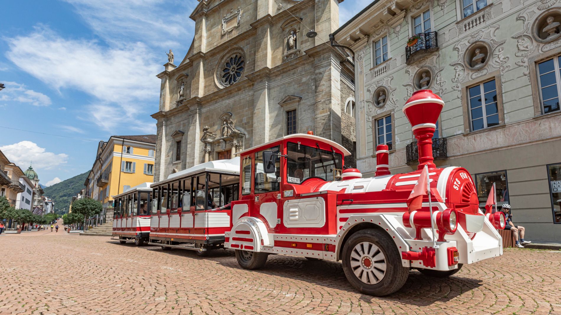
    Weather at the starting point

    10-day forecast

    Statistics

    • Content
    • Show images Hide images
    Features
    Maps and trails
    Nothing selected - click and drag in the elevation profile to zoom
    Distance
    Duration
    Ascent
    Descent
    Elevation profile