IMPORTANT INFORMATION!
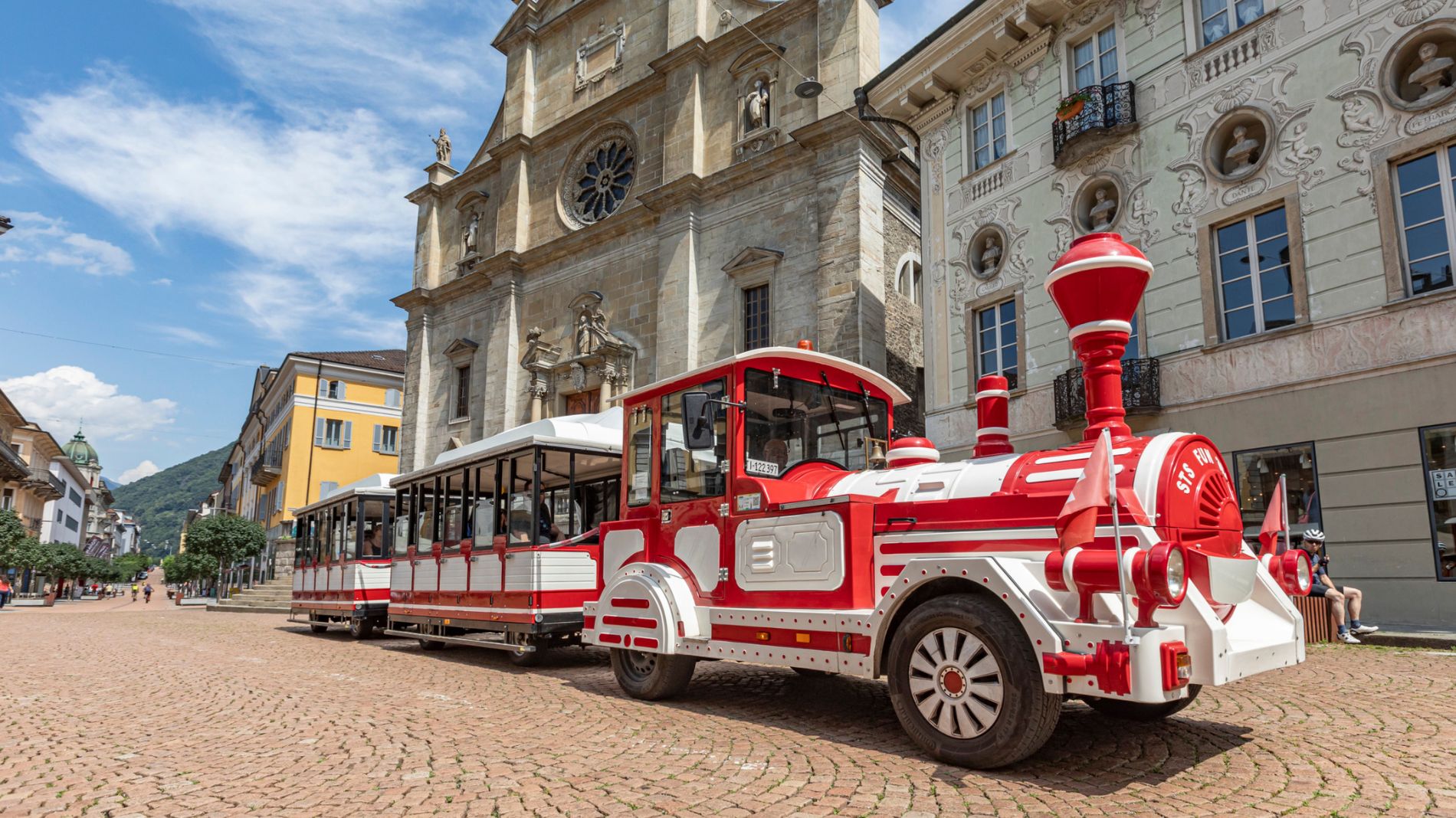
From Friday 29 August to Sunday 31 August 2025, all Artù tourist train rides will depart from Largo Elvezia, in front of UBS.
More informationPista rossa di Campra (SwitzerlandMobility 502)
Pista rossa di Campra (SwitzerlandMobility 502)

Bellinzona e Valli Turismo Verified partner
-
 Black slope in Campra - Cross country skiingPhoto: Bellinzona e Valli Turismo, Bellinzona e Valli Turismo
High up in the Blenio Valley, at an altitude of nearly 1,500 metres, the Nordic Cross-Country Ski Centre of Campra meets the needs of all cross-country skiers, from beginners to professionals. The red trail is a real outdoor gym which really encourages you to train with cross-country skis on your feet.
Campra is a snow-covered paradise which enjoys the good weather conditions of the Southern Alps. Lots of snow, lots of sunshine and very little wind. The red trail is the most diverse of all: 1/3 of it is level, 1/3 is uphill and 1/3 is downhill, with a medium-difficulty trail where races at regional level and for young skiers are often organized.
A restaurant with accommodation facilities, multi-purpose rooms, a gym, changing rooms, showers, a sauna, waxing rooms, a natural ice rink and excellent snow cover make this Nordic Centre the ideal place for real training sessions.
Bellinzona e Valli Turismo Verified partner
Derived from the technical difficulty and the stamina requirements.
Track types
Rest stops
Capanna Gorda (Bike friendly)Osteria Belvedere (Bike friendly)
Capanna Bovarina (Bike friendly)
Safety information
The route Pista rossa di Campra 502 is part of the national network of SwitzerlandMobility.
Coordinates
Equipment
- Ski
- Boots
- Hiking stick
- Sun cup
- Gloves
- Sunglasses
- Sun cream
- Water-bottle
Derived from the technical difficulty and the stamina requirements.
Weather at the starting point
Statistics
- Content
- Show images Hide images