TRENINO ARTÙ
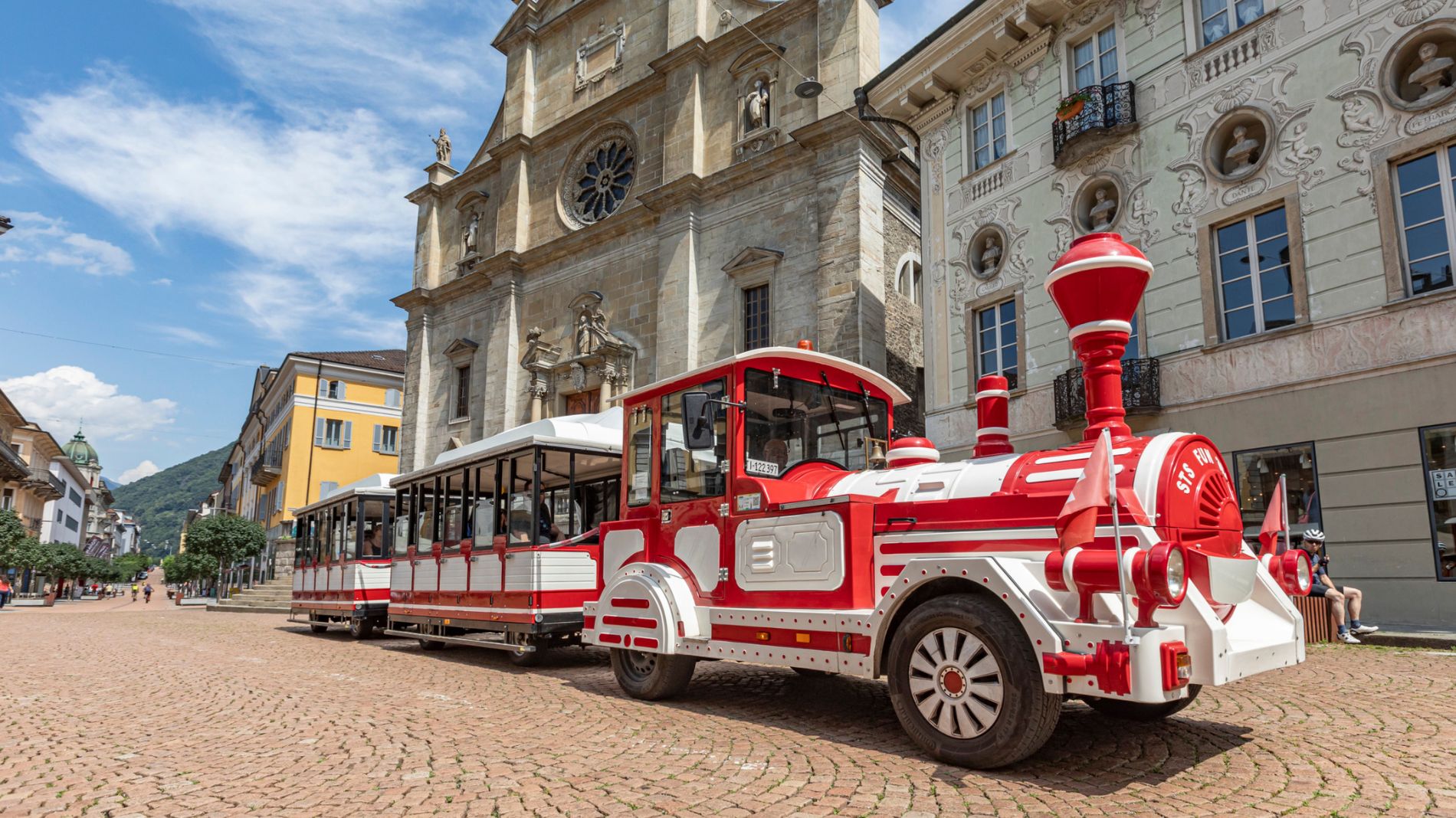
On Tuesday, 26 May, the Trenino Artù will not operate due to the passage of the Giro d’Italia!
Find out more about the Giro d’Italia stage “Bellinzona–Carì”!Magadino Plain Route
 Toprecommended route
Cycling
· Bellinzona (municipality)
Toprecommended route
Cycling
· Bellinzona (municipality)
Magadino Plain Route

Bellinzona e Valli Turismo Verified partner
-
 Photo: Bellinzona e Valli Turismo
A relaxing bike ride up and down the Magadino plain along quiet country roads and valuable floodplain sites, with horses grazing and streams. The route is suitable for any type of bicycle.
Leaving Bellinzona and its towers, you head towards Locarno following the road that runs along the Ticino river and crosses the garden of the canton of Ticino, the Magadino Plain.
Arriving at Riazzino, following the 311 signage, you cross the Magadino Plain horizontally to reach the village of Quartino. From this point, following the roads that skirt the mountain northwards, you return towards the capital, passing through Contone, Cadenazzo, Sant'Antonino, Camorino, and Giubiasco.
With a detour at Camorino, it is possible to take the hillside road that leads to the forts known as the "hunger" forts, built between 1853 and 1854. The first tower called "Ai Scarsitt" has been restored and converted into an exhibition space; the other four forts have been connected by identifying an educational-hiking route and putting up the related detailed signage.
Author’s recommendation
The itinerary is suitable for any type of bicycle.


Bellinzona e Valli Turismo Verified partner
Derived from the technical difficulty and the stamina requirements.
Track types
Show elevation profileRest stops
Hotel & SPA Internazionale (Bike friendly)Villa del Gusto (Bike friendly)
Marchè Bellinzona Sud (Bike friendly)
Hotel Bellinzona Sud (Bike friendly)
Hotel La Perla (Bike friendly)
Capanna Cremorasco (Bike friendly)
Hotel La Tureta (Bike friendly)
Ostello Montebello (Bike friendly)
Hotel Unione (Bike friendly)
Safety information
This route runs along roads open to motorized traffic and follows the traffic rules: www.prudenza-precedenza.ch
Camping Bellinzona (Bike friendly)
Villa del Gusto (Bike friendly)
E-Bike charging point - Lumino
E-Bike charging point - Bellinzona
Marchè Bellinzona Sud (Bike friendly)
E-Bike charging point - Arbedo-Castione
Chiesa di San Barnárd
Funivia Monte Carasso - Curzútt - Mornena
E-Bike charging point - Monte Carasso
Hotel Bellinzona Sud (Bike friendly)
E-Bike charging point - Giubiasco - FFS
E-Bike charging point - Gudo
E-Bike charging point - Cadenazzo
Hotel La Perla (Bike friendly)
Capanna Cremorasco (Bike friendly)
Chiesa di S. Martino
Hotel La Tureta (Bike friendly)
Teleferica Camorino - Monti di Croveggia
BikePort - Guiding, rental & consulting
Villa dei Cedri Museum
Castle of Sasso Corbaro
Ostello Montebello (Bike friendly)
Castel Grande and the wall
Museo di Castelgrande
Castle of Montebello
Archeologia Montebello
Hotel Unione (Bike friendly)
Public transport
Public-transport-friendly
Coordinates
Localization
Derived from the technical difficulty and the stamina requirements.
Weather at the starting point
Statistics
- Content
- Show images Hide images