IMPORTANT INFORMATION!
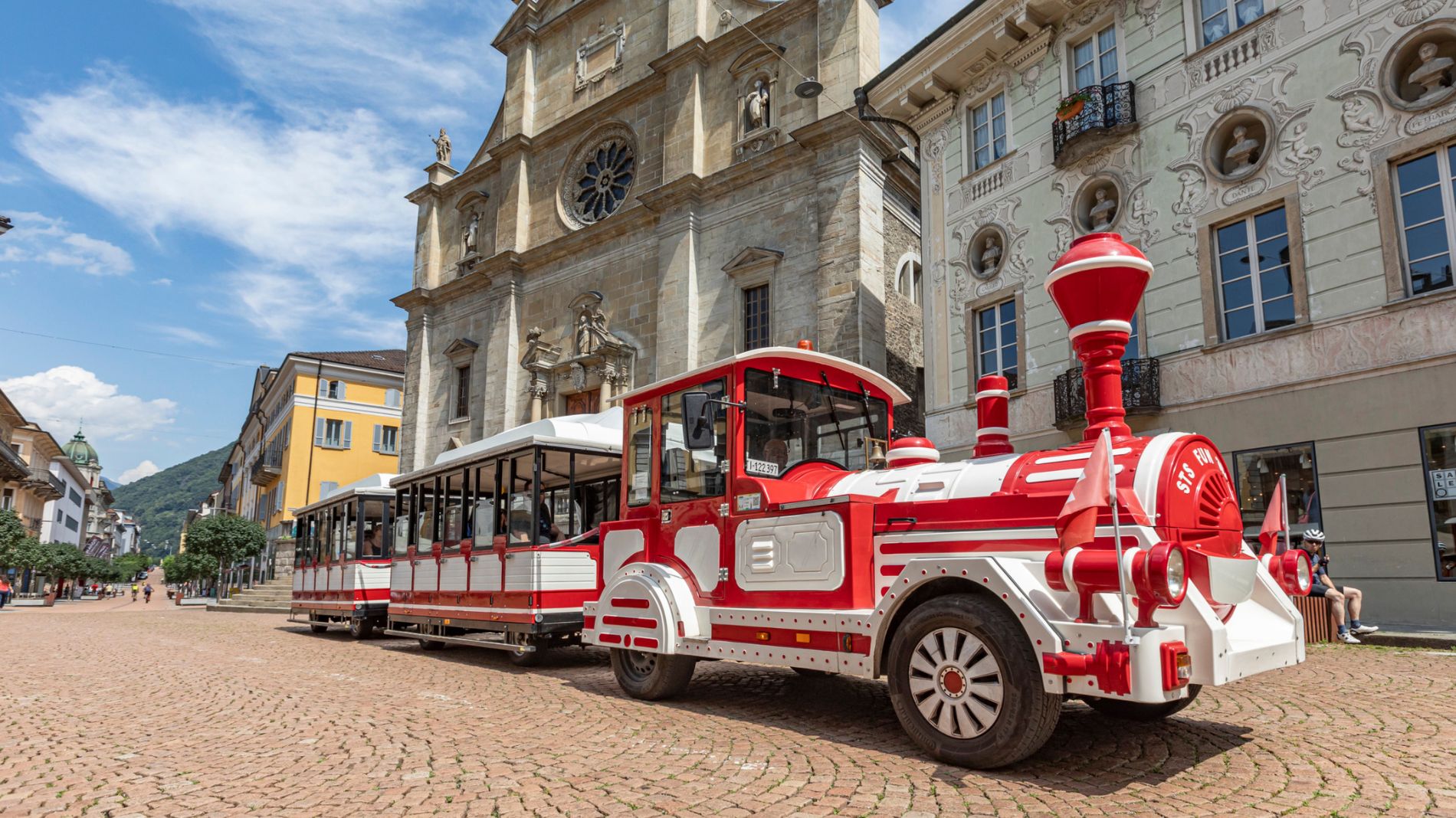
From Friday 29 August to Sunday 31 August 2025, all Artù tourist train rides will depart from Largo Elvezia, in front of UBS.
More informationThe fortified hills of Bellinzona
The fortified hills of Bellinzona

Bellinzona e Valli Turismo Verified partner
-
 The fortified hills of BellinzonaPhoto: Bellinzona e Valli Turismo, Bellinzona e Valli Turismo
An easy mountain footpath that follows the higher hills above the city of Bellinzona. This itinerary allows hikers to discover an area rich in the history, art and beauty of the three castles.
Prada, a hamlet steeped in history and art nestling in the woods above Ravecchia, is one of Bellinzona's hidden treasures; although off the beaten track and still little known, it can be easily reached on foot taking three different routes.
From the train station, for example, you walk to Ravecchia and from Pedevilla take a steep but well kept path that has some stretches of steps. After 40 minutes you come to Scarpapè (signposted) and then the archaeological site of Prada. Abandoned during the so called "Borromeo plague" (1629-1630), the hamlet comprises around 60 remains of rustic dwellings and barns.
On leaving Prada you can then walk on to Sasso Corbaro Castle over Artore (and vice versa): just where this stretch of path begins you can make out the remains of masonry from the ancient dwellings hidden amidst the tree trunks. The site can be also reached by the path (steps) which starts at the San Giovanni hospital as well as from Scarpapè.
Bellinzona e Valli Turismo Verified partner
Derived from the technical difficulty and the stamina requirements.
Track types
Tips and suggestions
Montagnepulite: This project was born to promote an effective management and sustainable use of mountain huts in Ticino, and in particular the litter management. The responsible management of litter in the mountains is a matter of common sense. We can all contribute: www.montagnepulite.ch
Coordinates
Equipment
- Hiking boots
- Sun cap
- Water-bottle
- Sunglasses
- Sun cream
- Hiking map
- Camera
- Food
Derived from the technical difficulty and the stamina requirements.
Weather at the starting point
Statistics
- Content
- Show images Hide images