Earlier
Later
Avalanche conditions
·
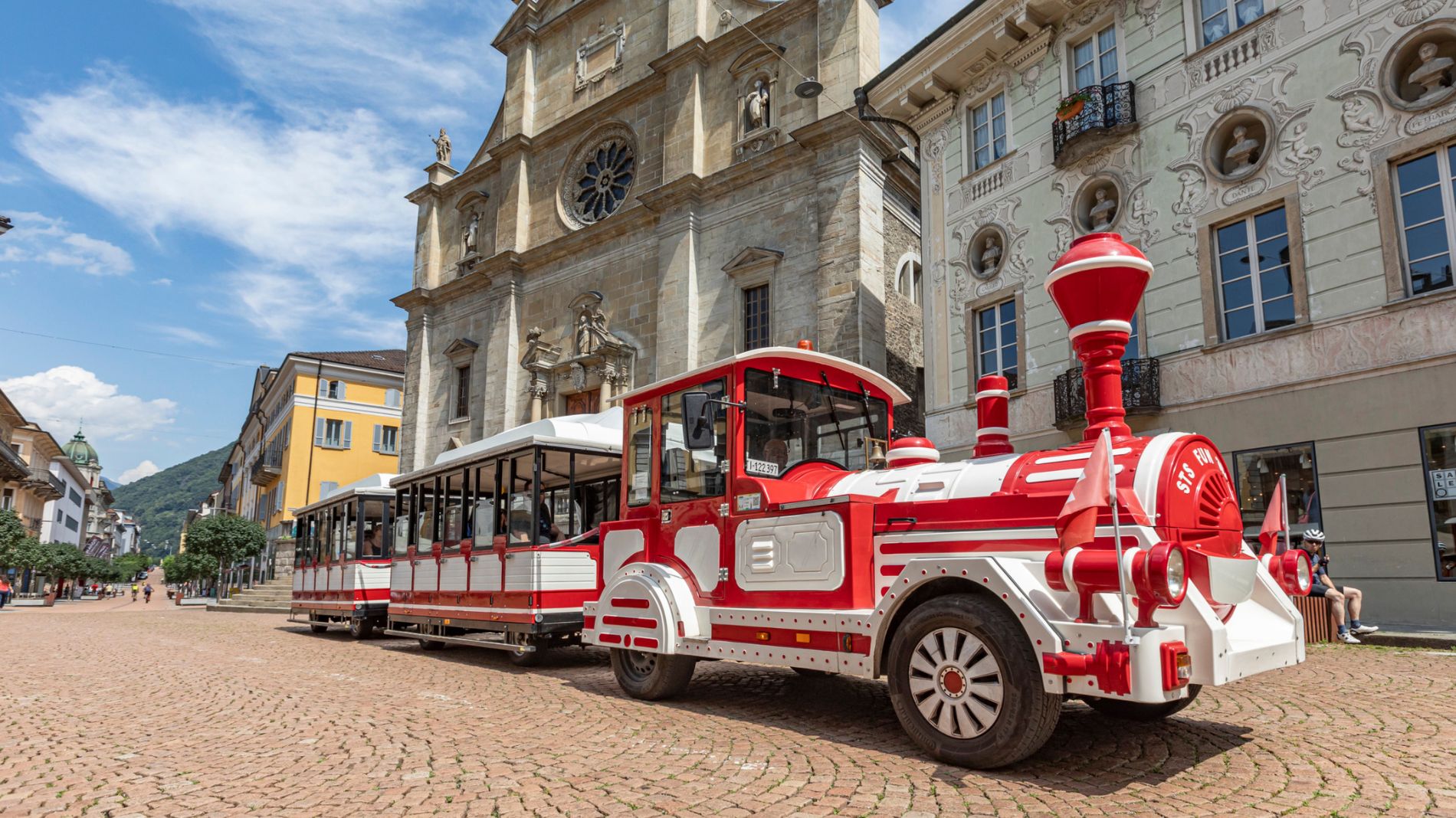
From Friday 29 August to Sunday 31 August 2025, all Artù tourist train rides will depart from Largo Elvezia, in front of UBS.
More information

Just a few kilometers from the highway exit at Quinto or, more precisely, in the beautiful village of Dalpe at 1,200 m a.s.l., there are four very diverse snowshoe trails.
The outermost loop trail is included in the official SwitzerlandMobility routes (No. 957).
« The wolf » trail starts on the right side of the square located at the end of the village of Dalpe, following the Gribbio road. The charming Polpiano bridge is a short distance away and from there, on the right, begins the fourth trail named « the marmot ».
Derived from the technical difficulty and the stamina requirements.
For safety reasons, it is forbidden to leave the marked route.
Derived from the technical difficulty and the stamina requirements.