Avalanche conditions
most recent, highest rating
{numRegions} bulletins: highest rating
{numRegions} bulletins: most recent, highest danger levels
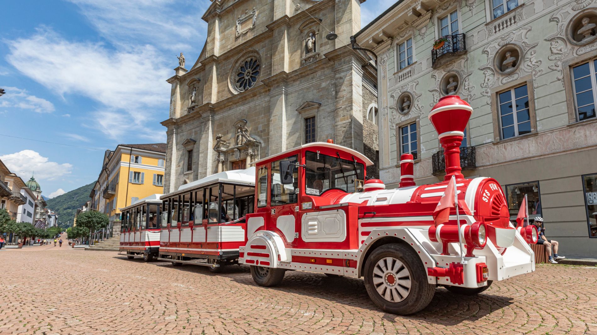
On Tuesday, 26 May, the Trenino Artù will not operate due to the passage of the Giro d’Italia!
Find out more about the Giro d’Italia stage “Bellinzona–Carì”!

A spectacular winter hike that leads through an area rich in natural beauty, offering the possibility to enjoy snow-covered mountain landscapes immersed in a truly pristine and evocative environment.
The route starts from Campo Blenio, the small alpine village located at 1215 meters altitude, mainly known as a winter destination suitable for families.
From the Ski School building, follow the special signs that lead towards the Valle di Campo, passing through the better-known settlements of Pianchera and Orsera. The typical stone huts are especially appreciated in summer as a refuge from the hottest summer days or the daily hustle.
You enter the enchanting larch forest, reaching Ronco di Gualdo, then continue towards Bovarina. The natural setting is really exceptional and with a bit of luck, it is possible to encounter roe deer, chamois, hares, squirrels, or other wild animals!
The final destination is the Bovarina Hut, located at 1,870 meters altitude, occasionally open also during the winter period.
The route is quite long and challenging (about 2.5 hours), thus suitable for trained walkers, and it is recommended to bring something to eat and drink.
Those without equipment can contact the Campo Blenio Ski School or the Sarci-Sport shop in Olivone where they can find everything needed for rent.
The Swiss Ski School Blenio provides guides for less experienced hikers able to accompany hikers on marked routes or other itineraries (minimum 10 people).
Derived from the technical difficulty and the stamina requirements.
For safety reasons, it is forbidden to leave the marked route.
The information about this route refers to a round trip on the same stretch.
Localization
Derived from the technical difficulty and the stamina requirements.