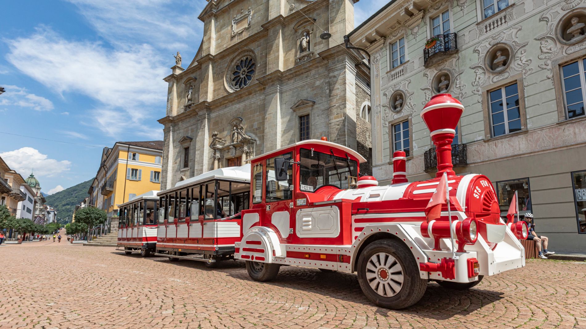
TRENINO ARTÙ
On Tuesday, 26 May, the Trenino Artù will not operate due to the passage of the Giro d’Italia!
Find out more about the Giro d’Italia stage “Bellinzona–Carì”!Energy Route
Energy Route

Bellinzona e Valli Turismo Verified partner
-
 Photo: Switzerland Tourism, André Meier, Bellinzona e Valli Turismo
Discovering the energy resources of the Gotthard
The Energy Route was designed and created following the opening of the San Gottardo wind farm in 2021. Given its high mountain location, it is recommended to do the route in summer or early autumn.
A circular route winding among the five majestic wind turbines standing at the pass at an altitude of 2091 m above sea level, leading to the discovery of the energy resources of the Gotthard. It is a trail accessible to everyone, without particular difficulties, just over 5 km long and with a walking time of about 2.5 hours.
This walk offers the opportunity to visit the wind farm in person to all interested people, numerous tourists passing through the Pass, and especially schoolchildren. In addition to presenting the park, the seven stations encountered along the trail offer food for thought on the past and invite reflection on the future of renewable energy resources in Ticino.
The route, which also passes by the Lucendro dam, offers glimpses of the Pass landscape and allows the tourist to admire the beauty of unspoiled nature at the center of the Alpine chain with the imposing peaks that characterize the Gotthard scenery.
The view presented to the hiker is further enriched by the scenic effects that can be admired on bright sunny days when sky and mountains reflect in the clear waters of Lago della Piazza.
For more details and insights related to this route, it is recommended to visit the website: laviadellenergia.ch.
Bellinzona e Valli Turismo Verified partner
Derived from the technical difficulty and the stamina requirements.
Track types
Rest stops
Albergo San GottardoTips and suggestions
Montagnepulite: This project was created to promote effective and sustainable management of alpine huts in the Ticino region, particularly waste management. Responsible waste management in the mountains is a matter of common sense. We can all contribute: www.montagnepulite.ch
Sasso San Gottardo
Gotthard Hospiz
Tremola Road, Gotthard Pass
Gotthardpass
Albergo San Gottardo
Passo del San Gottardo
Sankt Gotthard Pass
Coordinates
Equipment
- Hiking boots
- Cap
- Water bottle
- Sunglasses
- Sunscreen
- Hiking map
- Camera
- Food
Localization
Derived from the technical difficulty and the stamina requirements.
Weather at the starting point
Statistics
- Content
- Show images Hide images