65360835

Snowshoe route Campra-Camperio

Snowshoeing recommended route Snowshoeing  · Bellinzona and Valleys

Snowshoe route Campra-Camperio

Logo Bellinzona e Valli Turismo
Responsible for this content
Bellinzona e Valli Turismo Verified partner 
  • Route with snowshoes Campra-Camperio
    Route with snowshoes Campra-Camperio
    Photo: Bellinzona e Valli Turismo, Bellinzona e Valli Turismo

Selected alternatives for you

    An easy and pleasant snowshoe route that allows you to reach Campra or Camperio

    moderate
    Distance 4.6 km
    2:20 h
    212 m
    212 m
    1,433 m
    1,221 m

    The starting point of the snowshoe route is the large parking area near Bollette (just before the famous Nordic Center of Campra), located at about 1,450 meters altitude, or, in the opposite direction, from Camperio, both accessible by public transport from Olivone during the winter season.

    The trail, just under 5 km round trip, winds along a varied and fairly flat path that immediately envelops the hiker in the magic of the conifer forest.

    Enchanting and interesting are the passages along the Brenno river: the gentle sound of the water softened by the snow-covered nature accompanies you until you reach the small inhabited clusters even in winter. A joy for the eyes and heart!

    The track is well marked and leads you to the alpine village of Camperio, situated at about 1,270 meters, maintaining a moderate slope, therefore suitable also for families and less experienced hikers.

    This small settlement offers a cozy stop to warm up and regain strength at the homonymous hospice, before returning along the same route or waiting for the bus that will take you back to the starting point.

    Profile picture of Bellinzona e Valli Turismo
    Author
    Bellinzona e Valli Turismo
    Logo Bellinzona e Valli Turismo
    Responsible for this content
    Bellinzona e Valli Turismo  Verified partner 
    Difficulty
    moderate
    Overall difficulty
    moderate

    Derived from the technical difficulty and the stamina requirements.

    Experience
    Landscape
    Highest point
    1,433 m
    Lowest point
    1,221 m
    Best time of year
    Jan
    Feb
    Mar
    Apr
    May
    Jun
    Jul
    Aug
    Sep
    Oct
    Nov
    Dec

    Track types

    Asphalt 25.38%Forested/wild trail 15.30%Path 56.36%Road 2.63%Unknown 0.31%
    Asphalt
    1.2 km
    Forested/wild trail
    697 m
    Path
    2.6 km
    Road
    120 m
    Unknown
    14 m
    Show elevation profile

    Safety information

    For safety reasons, it is forbidden to leave the marked route.

    Rest stop
    Tip
    Nearby
    Top Partner
    Waypoint
    Start point
    End point
    Low point
    High point
    Forecast
    Today {low} to {high} and {precipitation} of {precipitation_type}
    show {x} more
    Photo
    Video
    Campra, Bivio
    Sacch

    Coordinates

    SwissGrid
    2'711'270E 1'153'343N
    DD
    46.522139, 8.888799
    DMS
    46°31'19.7"N 8°53'19.7"E
    UTM
    32T 491470 5152069
    w3w 
    ///issued.behalf.surpasses
    Get there by train, car, bike, or on foot!

    Equipment

    • Snowshoes
    • Hiking boots
    • Poles
    • Hat
    • Gloves
    • Sunglasses
    • Sunscreen
    • Water bottle

    Localization

    Parts of this content were machine translated using Italian as the source language

    Similar routes nearby

    • Campra-Dötra route (SwitzerlandMobility 961)
    • Snowshoe route Piera-Dötra
    • Rambött-Gorda snowshoe route
    • Snowshoe route Pianezza-Gorda
    • Snowshoe route Campo Blenio-Bovarina
     These suggestions were generated by our system
    Difficulty
    moderate
    Overall difficulty
    moderate

    Derived from the technical difficulty and the stamina requirements.

    Distance
    4.6 km
    Duration
    2:20 h
    Ascent
    212 m
    Descent
    212 m
    Highest point
    1,433 m
    Lowest point
    1,221 m
    Out and back Scenic
    Avalanche conditions
    most recent, highest rating {numRegions} bulletins: highest rating {numRegions} bulletins: most recent, highest danger levels
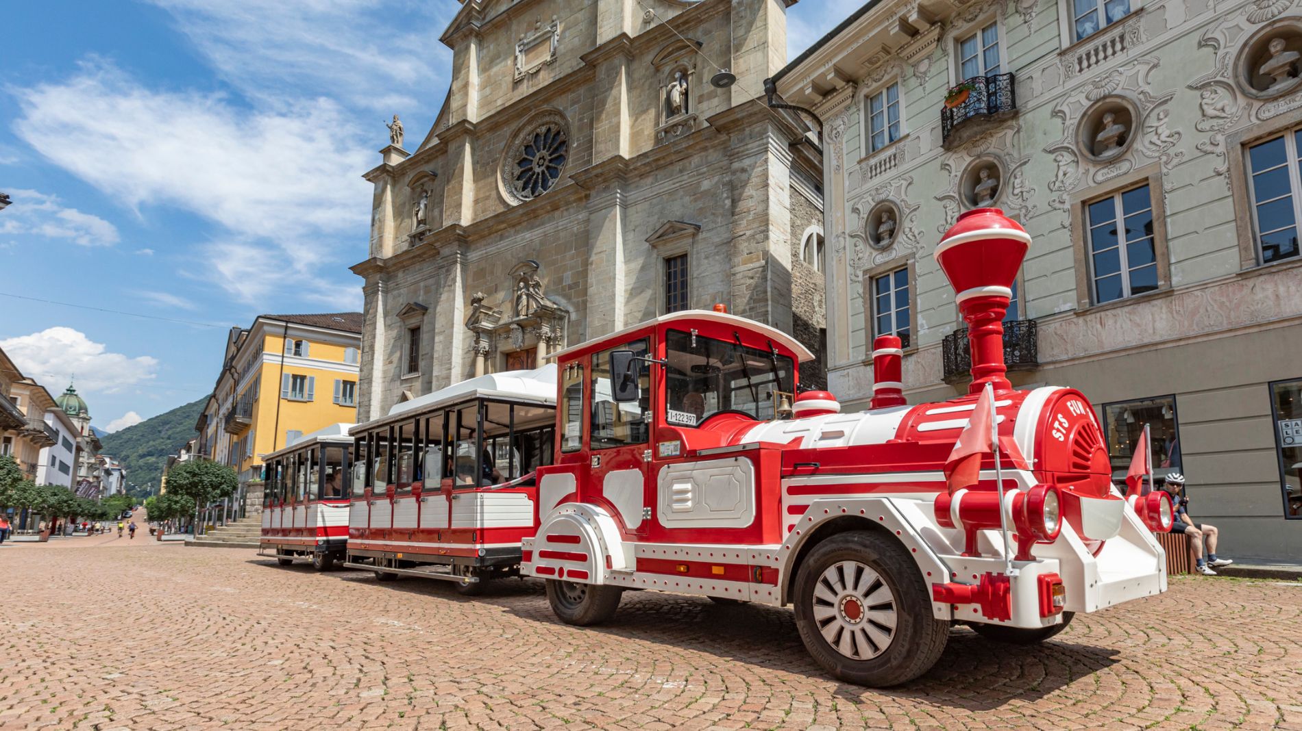
    Weather at the starting point

    10-day forecast

    Statistics

    • Content
    • Show images Hide images
    Features
    Maps and trails
    Nothing selected - click and drag in the elevation profile to zoom
    Distance
    Duration
    Ascent
    Descent
    Elevation profile