801681661

Rambött-Gorda snowshoe route

Snowshoeing recommended route Snowshoeing  · Bellinzona and Valleys

Rambött-Gorda snowshoe route

Logo Bellinzona e Valli Turismo
Responsible for this content
Bellinzona e Valli Turismo Verified partner 
  • Rambött-Gorda snowshoeing route
    Rambött-Gorda snowshoeing route
    Photo: Isotta Bertinelli, Bellinzona e Valli Turismo

Selected alternatives for you

    The trail starts just before the hamlet of Camperio and, following the summer hiking trail, enters the dense but not too steep forest.

    difficult
    Distance 9.8 km
    5:20 h
    600 m
    600 m
    1,792 m
    1,192 m

    The steps, accompanied by the typical scent of fir trees, first lead to Rambött up to Tecc Büsc: the ideal spot for a short refreshing break to enjoy the view of the valley.

    The route continues, still in the forest, reaching the Piancassinélla mountains, where, with some luck, you may catch a glimpse of a squirrel or wild animal.

    The most demanding efforts are now behind you; you then proceed along the packed road which, looking south, skirts the large pastures of the Gorda mountains where the homonymous hut is located. This hut, also staffed in winter, offers accommodation and a well-stocked refreshment point.

    From here, the view of the mountain range and the entire valley floor is spectacular!

    To reach Camperio, you can use the free winter transport service Olivone-Campra (four departures daily), while for the descent you can use rental sleds starting from the Gorda Hut or the Gorda Express.

    Author’s recommendation

    For safety reasons, it is forbidden to leave the marked path.

    Profile picture of Bellinzona e Valli Turismo
    Author
    Bellinzona e Valli Turismo
    Logo Bellinzona e Valli Turismo
    Responsible for this content
    Bellinzona e Valli Turismo  Verified partner 
    Difficulty
    difficult
    Overall difficulty
    difficult

    Derived from the technical difficulty and the stamina requirements.

    Experience
    Landscape
    Highest point
    1,792 m
    Lowest point
    1,192 m

    Track types

    Asphalt 20.29%Forested/wild trail 12.86%Path 63.12%Road 3.72%
    Asphalt
    2 km
    Forested/wild trail
    1.3 km
    Path
    6.2 km
    Road
    364 m
    Show elevation profile

    Safety information

    For safety reasons, it is forbidden to leave the marked route.

    Tips and suggestions

    The information relating to this route is to be understood as a round trip on the same section.

    Rest stop
    Tip
    Nearby
    Top Partner
    Waypoint
    Start point
    End point
    Low point
    High point
    Forecast
    Today {low} to {high} and {precipitation} of {precipitation_type}
    show {x} more
    Photo
    Video

    Coordinates

    SwissGrid
    2'713'021E 1'153'510N
    DD
    46.523347, 8.911650
    DMS
    46°31'24.0"N 8°54'41.9"E
    UTM
    32T 493223 5152201
    w3w 
    ///tougher.thorax.showering
    Get there by train, car, bike, or on foot!

    Equipment

    • Snowshoes
    • Hiking boots
    • Poles
    • Hat
    • Gloves
    • Sunglasses
    • Sunscreen
    • Water bottle

    Localization

    Parts of this content were machine translated using Italian as the source language

    Similar routes nearby

    • Snowshoe route Piera-Dötra
    • Snowshoe route Pianezza-Gorda
    • Snowshoe route Campra-Camperio
    • Campra-Dötra route (SwitzerlandMobility 961)
    • Snowshoe route Campo Blenio-Bovarina
     These suggestions were generated by our system
    Difficulty
    difficult
    Overall difficulty
    difficult

    Derived from the technical difficulty and the stamina requirements.

    Distance
    9.8 km
    Duration
    5:20 h
    Ascent
    600 m
    Descent
    600 m
    Highest point
    1,792 m
    Lowest point
    1,192 m
    Out and back Scenic Refreshment stops available Geological highlights Flora Fauna
    Avalanche conditions
    most recent, highest rating {numRegions} bulletins: highest rating {numRegions} bulletins: most recent, highest danger levels
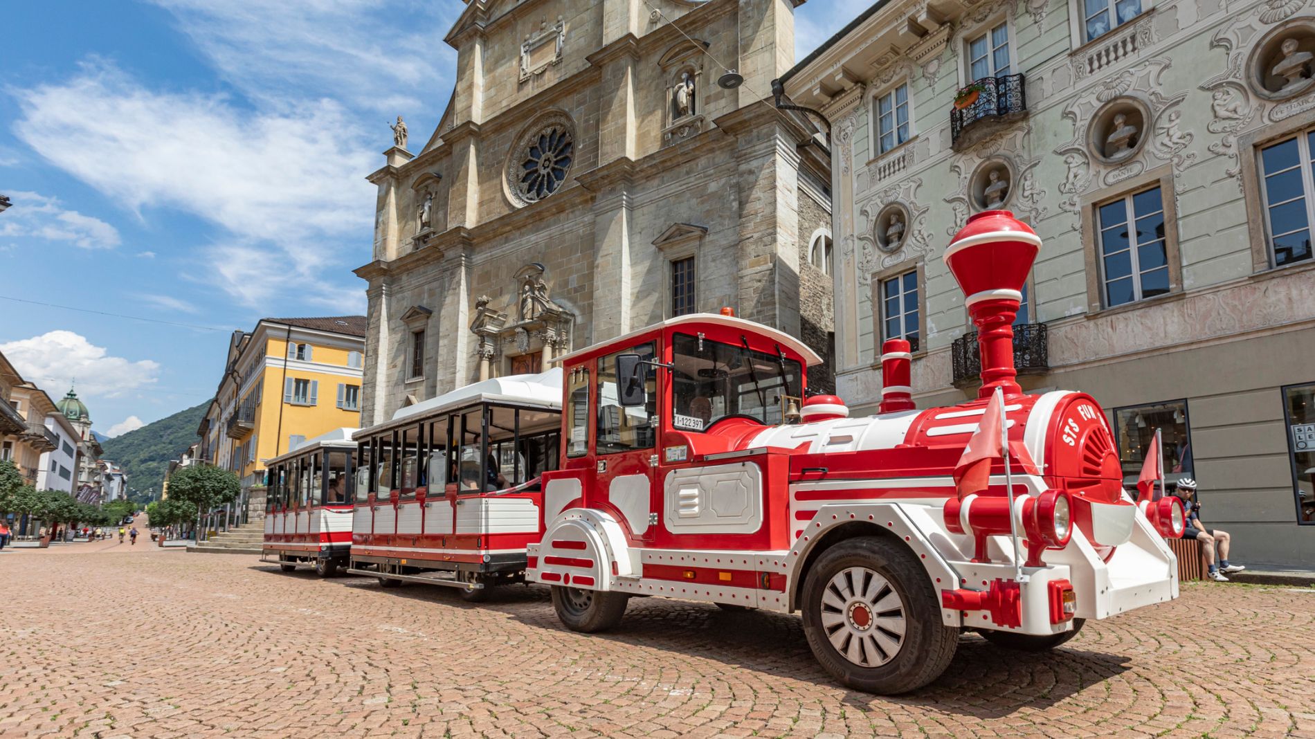
    Weather at the starting point

    10-day forecast

    Statistics

    • Content
    • Show images Hide images
    Features
    Maps and trails
    Nothing selected - click and drag in the elevation profile to zoom
    Distance
    Duration
    Ascent
    Descent
    Elevation profile