TRENINO ARTÙ
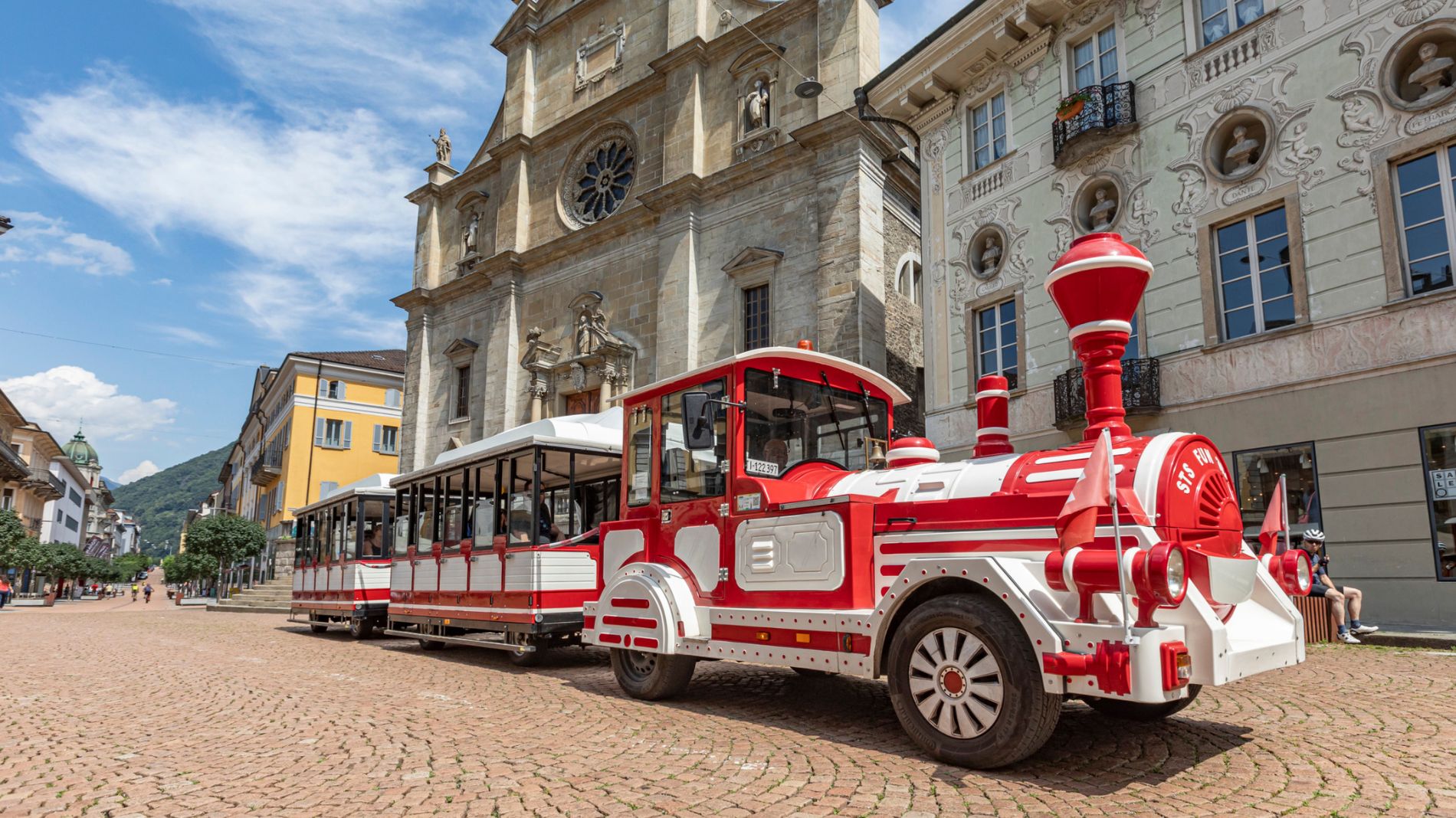
On Tuesday, 26 May, the Trenino Artù will not operate due to the passage of the Giro d’Italia!
Find out more about the Giro d’Italia stage “Bellinzona–Carì”!Brogoldone Hut
Brogoldone Hut

Bellinzona e Valli Turismo Verified partner
-
 Capanna BrogoldonePhoto: Milo Zanecchia, Bellinzona e Valli Turismo
The Brogoldone Hut is located on a panoramic terrace of rare beauty at the top of the Lumino Valley, the starting point for hikes and crossings in the wonderful Pizzo di Claro region.
From the village of Lumino, you can choose to take a walk of about two hours or take the Pizzo di Claro Cable Car, which in less than 15 minutes takes you directly to the Saurù mountains. Upon arrival of the cable car, visitors are welcomed by the Osteria Saurù, a restaurant located at 1300 meters altitude, where you can enjoy simple and traditional cuisine and admire the panorama.
The Brogoldone Hut is reached in about 2 hours by following the comfortable sculpture path, on which there are several wooden works made with a chainsaw by artists from Ticino and Mesolcina. Along the path, there are educational panels concerning the region's fauna and flora.
The Brogoldone alpine pasture is considered one of the most fascinating panoramic terraces of Ticino and is the starting point for pleasant summer and winter hikes toward Pizzo di Claro, also called Visagno, Pizzo Molinera, and Pizzo Martum.
Once a summer pasture, the hut is now the result of the desire to keep alive the memories of a past time. From 1995 to 1998 a group of volunteers transformed the 2 existing buildings maintaining the typical structure of the alpine pasture: the former stable thus became the new dormitory and the building once used as a dairy and shepherd's refuge is now the new kitchen and dining room. The new hut is open and managed from mid-May until the end of October and offers 57 beds. During the winter period, part of the hut remains open.
For the return to the Saurù Mountains, the descent takes about an hour.
Bellinzona e Valli Turismo Verified partner
Derived from the technical difficulty and the stamina requirements.
Track types
Rest stops
Osteria SaurùTips and suggestions
Montagnepulite: This project was created to promote the effective and sustainable management of alpine huts in the Ticino area, especially waste management. Responsible waste management in the mountains is a matter of common sense. We can all contribute: www.montagnepulite.ch
Bergstation Pizzo di Claro
Capanna Brogoldone
Alpe Domas
Coordinates
Equipment
- Hiking boots
- Cap
- Water bottle
- Sunglasses
- Sunscreen
- Hiking map
- Camera
- Food
Localization
Derived from the technical difficulty and the stamina requirements.
Weather at the starting point
Statistics
- Content
- Show images Hide images