65360735

Path Nara-Cancorì (SuisseMobile 960)

Snowshoeing recommended route Snowshoeing  · Bellinzona and Valleys

Path Nara-Cancorì (SuisseMobile 960)

Logo Bellinzona e Valli Turismo
Responsible for this content
Bellinzona e Valli Turismo Verified partner 
  • Nara-Cancorì route (SvizzeraMobile 960)
    Nara-Cancorì route (SvizzeraMobile 960)
    Photo: Bellinzona e Valli Turismo, Bellinzona e Valli Turismo

Selected alternatives for you

    This beautiful circular snowshoeing route starts from Cancurì and winds along a path that offers a stunning view of the Blenio Valley and its mountains in the heart of the Alps.

    moderate
    Distance 6.1 km
    2:25 h
    203 m
    213 m
    1,610 m
    1,451 m

    The route starts from the arrival of the first chairlift, near the La Pernice Restaurant. From here you head towards the valley, ascending and following, for some stretches, the toboggan run.

    The trail begins with a gentle ascent and then descends for 3.5 km, leaving you amazed by the vastness of the splendid view looking north towards the iconic Sosto, as well as with a breathtaking panorama over the Lower Blenio Valley.

    Via a side trail, it is possible to reach the Pela Bar, a meeting and entertainment place where, besides having something warm to drink, you can also have some snacks. The return to the official path will be in Buslino.

    Along this route, you can reach the two famous Swing The World swings.

    Another feature of the Cancorì route can be found by following the side trail leading to Pianèzza where, by extending the route by just over 5 minutes, it is possible to camp at the “Tenda,” a small unguarded Indian tipi with free access. The structure provides firewood, a grill for cooking over the fire, and some drinks. This stop will allow you to warm up while trying your hand at lighting the fire.

    Author’s recommendation

    Follow the snowshoe route logo shown on the pink signs: Path Nara-Cancorì 960

    Profile picture of Bellinzona e Valli Turismo
    Author
    Bellinzona e Valli Turismo
    Logo Bellinzona e Valli Turismo
    Responsible for this content
    Bellinzona e Valli Turismo  Verified partner 
    Difficulty
    moderate
    Overall difficulty
    moderate

    Derived from the technical difficulty and the stamina requirements.

    Experience
    Landscape
    Highest point
    1,610 m
    Lowest point
    1,451 m
    Best time of year
    Jan
    Feb
    Mar
    Apr
    May
    Jun
    Jul
    Aug
    Sep
    Oct
    Nov
    Dec

    Track types

    Asphalt 36.75%Forested/wild trail 48.26%Path 5.64%Unknown 9.32%
    Asphalt
    2.3 km
    Forested/wild trail
    3 km
    Path
    346 m
    Unknown
    572 m
    Show elevation profile

    Rest stops

    Ristorante La Pernice, (Bike Friendly)

    Safety information

    The Path Nara-Cancorì 960 is part of the national SuisseMobile network.
    For safety reasons, it is forbidden to leave the marked route.

    Rest stop
    Tip
    Nearby
    Top Partner
    Waypoint
    Start point
    End point
    Low point
    High point
    Forecast
    Today {low} to {high} and {precipitation} of {precipitation_type}
    show {x} more
    Photo
    Video
    Ristorante La Pernice, (Bike Friendly)
    E-Bike charging point - Cancorì
    Cancorì

    Coordinates

    SwissGrid
    2'712'060E 1'146'492N
    DD
    46.460385, 8.897428
    DMS
    46°27'37.4"N 8°53'50.7"E
    UTM
    32T 492123 5145206
    w3w 
    ///doubts.jiggle.rolled
    Get there by train, car, bike, or on foot!

    Equipment

    • Snowshoes
    • Boots
    • Poles
    • Hat
    • Gloves
    • Sunglasses
    • Sunscreen
    • Water bottle

    Localization

    Parts of this content were machine translated using Italian as the source language

    Similar routes nearby

    • Snowshoe route Campra-Camperio
    • Campra-Dötra route (SwitzerlandMobility 961)
    • Rambött-Gorda snowshoe route
    • Percorso Carì (SwitzerlandMobile 955)
    • Snowshoe route Pianezza-Gorda
     These suggestions were generated by our system
    Difficulty
    moderate
    Overall difficulty
    moderate

    Derived from the technical difficulty and the stamina requirements.

    Distance
    6.1 km
    Duration
    2:25 h
    Ascent
    203 m
    Descent
    213 m
    Highest point
    1,610 m
    Lowest point
    1,451 m
    Round trip
    Avalanche conditions
    most recent, highest rating {numRegions} bulletins: highest rating {numRegions} bulletins: most recent, highest danger levels
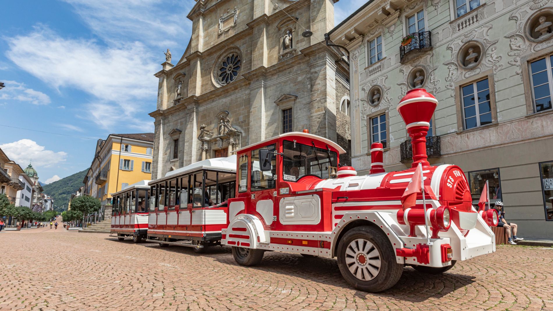
    Weather at the starting point

    10-day forecast

    Statistics

    • Content
    • Show images Hide images
    Features
    Maps and trails
    Nothing selected - click and drag in the elevation profile to zoom
    Distance
    Duration
    Ascent
    Descent
    Elevation profile